Carbon Medusa
Our mission is to democratize access to marine data by drastically reducing the cost and complexity of ocean observation.
We are a marine technology startup offering high-resolution, low-cost bathymetric mapping using autonomous surface drones.
We help ports, municipalities, and coastal stakeholders access critical underwater data without the high costs of crewed vessels.
Bathymetric Mapping
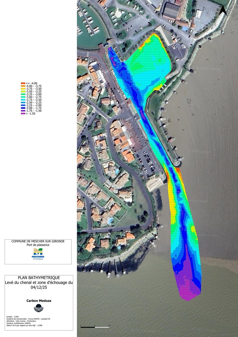
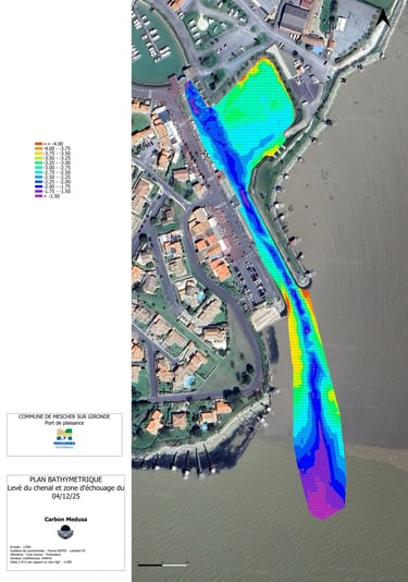
🗺️ What you receive :
🌍 High-resolution bathymetric maps (up to 50 m depth)
📡 RTK-corrected, fully georeferenced survey data
🧾 3D maps and PDF reports with color visualizations
How it works :
1️⃣ You tell us about your needs (area, objectives, timeline)
2️⃣ We deploy and operate the drone — no training required for your team
3️⃣ You receive the data and report within days
⚡ Much more affordable than a traditional vessel-based survey
🕒Mobile team ready to deploy anywhere in France
🛶 Operates in shallow or confined areas where conventional boats cannot access
👷♂️ Support inflatable boat available to secure operations when needed
💡 Why choose us ? :


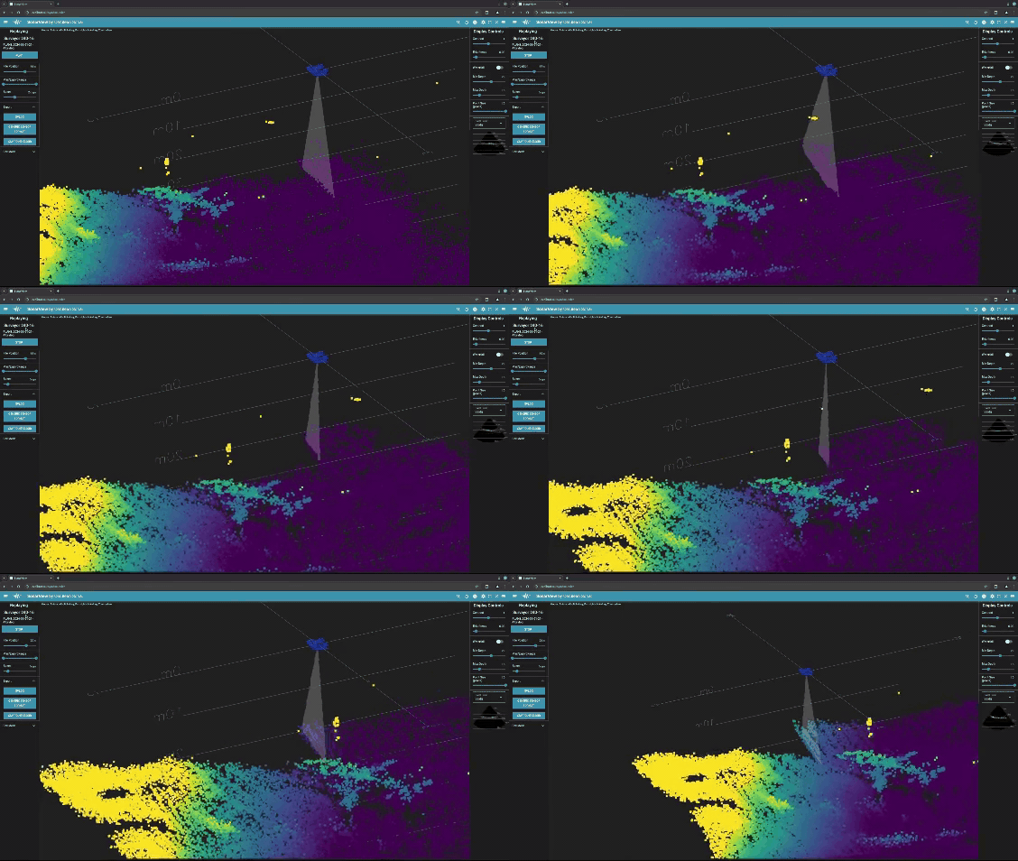
We now offer fast bathymetric surveys using a Cerulean Surveyor 240-16 multibeam sonar mounted on our custom marine drone (USV).
Perfect for :
Port and navigation authorities
Marina and coastal area managers
Environmental consulting firms
Local authorities with dredging or coastal development needs
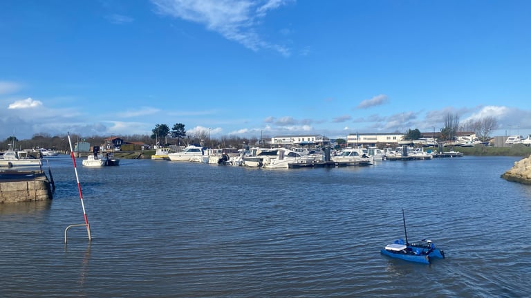
A marine drone optimized by Carbon Medusa
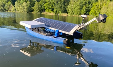
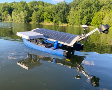
Upgrades include :
✅ RTK GNSS – Centimeter-level positioning accuracy
✅ Multibeam echosounder – Highly accurate seabed mapping data
✅ CTD profiler – Sound velocity profile correction for improved data quality
✅ Radio & Starlink connectivity – Real-time data transmission and remote supervision
✅ Solar panels – Extended endurance for longer missions
✅ Self-righting system – Designed to recover from capsize at sea and continue the mission without intervention
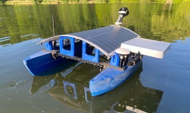
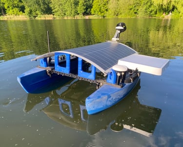
➡️Deployable by a single operator from a dock or shoreline for rapid interventions anywhere in France.
Based on the BlueBoat, our drone has been extensively modified to become a robust autonomous platform, designed for coastal and inland water missions, even in challenging conditions.
Environmental Monitoring
These solutions will enable long-duration, low-cost measurement campaigns, particularly for scientific research, environmental impact assessments, and long-term environmental monitoring.
Carbon Medusa also develops autonomous monitoring solutions for marine and coastal environments.
Applications currently in development include :
🌊 Oceanographic (metocean) measurements : temperature, salinity, currents
🐋 Passive Acoustic Monitoring : marine wildlife tracking and underwater noise monitoring